
Thank you for supporting this site ❤️
Make a donation
Make a donation
Mackay River topographic map
Click on the map to display elevation.
Thank you for supporting this site ❤️
Make a donation
Make a donation
About this map
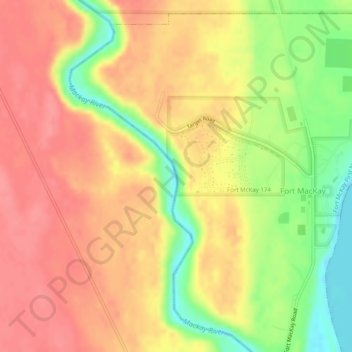
Name: Mackay River topographic map, elevation, terrain.
Location: Mackay River, Fort McKay, Wood Buffalo, Alberta, Canada (57.18220 -111.65709 57.18516 -111.65562)
Average elevation: 277 m
Minimum elevation: 229 m
Maximum elevation: 305 m
Thank you for supporting this site ❤️
Make a donation
Make a donation