
长生桥镇 topographic map
Interactive map
Click on the map to display elevation.
About this map
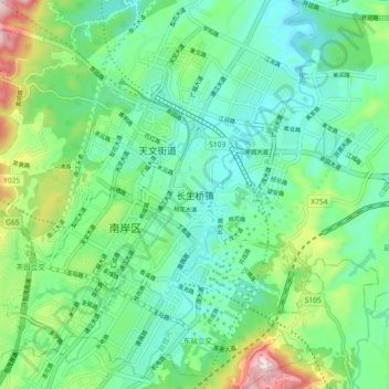
Name: 长生桥镇 topographic map, elevation, terrain.
Location: 长生桥镇, 南岸区, 重庆市主城都市区, 重庆市, 中国 (29.46950 106.61900 29.54950 106.69900)
Average elevation: 280 m
Minimum elevation: 170 m
Maximum elevation: 584 m
Other topographic maps
Click on a map to view its topography, its elevation and its terrain.