
盐糟寨 topographic map
Interactive map
Click on the map to display elevation.
About this map
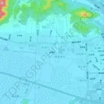
Name: 盐糟寨 topographic map, elevation, terrain.
Location: 盐糟寨, 黄冈镇, 饶平县, 潮州市, 广东省, 中国 (23.65158 116.94747 23.69158 116.98747)
Average elevation: 16 m
Minimum elevation: 0 m
Maximum elevation: 193 m
Other topographic maps
Click on a map to view its topography, its elevation and its terrain.