
滤池 topographic map
Interactive map
Click on the map to display elevation.
About this map
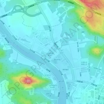
Name: 滤池 topographic map, elevation, terrain.
Location: 滤池, 黄冈镇, 饶平县, 潮州市, 广东省, 中国 (23.69356 116.98762 23.69378 116.98788)
Average elevation: 24 m
Minimum elevation: -2 m
Maximum elevation: 132 m
Other topographic maps
Click on a map to view its topography, its elevation and its terrain.