
安丰镇 topographic map
Interactive map
Click on the map to display elevation.
About this map
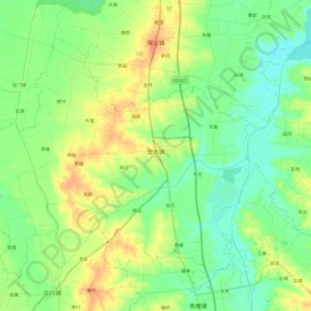
Name: 安丰镇 topographic map, elevation, terrain.
Location: 安丰镇, 寿县, 淮南市, 安徽省, 中国 (32.09468 116.57261 32.24517 116.80577)
Average elevation: 30 m
Minimum elevation: 16 m
Maximum elevation: 52 m
Other topographic maps
Click on a map to view its topography, its elevation and its terrain.