
八公山乡 topographic map
Interactive map
Click on the map to display elevation.
About this map
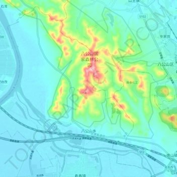
Name: 八公山乡 topographic map, elevation, terrain.
Location: 八公山乡, 寿县, 淮南市, 安徽省, 中国 (32.58082 116.70594 32.66170 116.80952)
Average elevation: 55 m
Minimum elevation: 16 m
Maximum elevation: 236 m
Other topographic maps
Click on a map to view its topography, its elevation and its terrain.