
桃州 topographic map
Interactive map
Click on the map to display elevation.
About this map
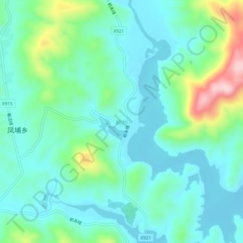
Name: 桃州 topographic map, elevation, terrain.
Location: 桃州, 古田县, 宁德市, 福建省, 中国 (26.66385 118.76028 26.70385 118.80028)
Average elevation: 429 m
Minimum elevation: 364 m
Maximum elevation: 651 m
Other topographic maps
Click on a map to view its topography, its elevation and its terrain.