
Thank you for supporting this site ❤️
Make a donation
Make a donation
Mount Hope topographic map
Click on the map to display elevation.
Thank you for supporting this site ❤️
Make a donation
Make a donation
About this map
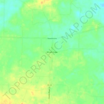
Name: Mount Hope topographic map, elevation, terrain.
Location: Mount Hope, Lawrence County, Alabama, 35651, United States (34.43843 -87.50169 34.47843 -87.46169)
Average elevation: 194 m
Minimum elevation: 180 m
Maximum elevation: 210 m
Thank you for supporting this site ❤️
Make a donation
Make a donation
Other topographic maps
Click on a map to view its topography, its elevation and its terrain.