
越溪街道 topographic map
Interactive map
Click on the map to display elevation.
About this map
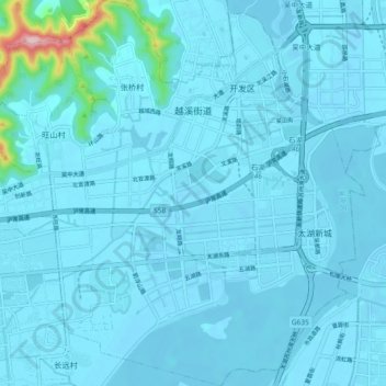
Name: 越溪街道 topographic map, elevation, terrain.
Location: 越溪街道, 吴中区, 苏州市, 江苏省, 中国 (31.15904 120.53146 31.23767 120.62227)
Average elevation: 15 m
Minimum elevation: -13 m
Maximum elevation: 279 m
Other topographic maps
Click on a map to view its topography, its elevation and its terrain.