
光福镇 topographic map
Interactive map
Click on the map to display elevation.
About this map
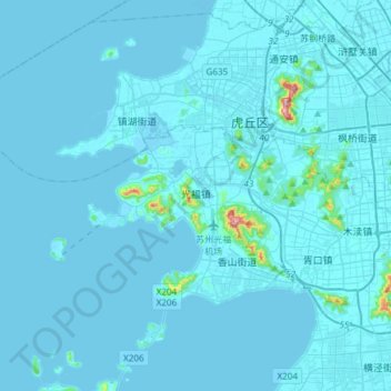
Name: 光福镇 topographic map, elevation, terrain.
Location: 光福镇, 吴中区, 苏州市, 江苏省, 中国 (31.22510 120.14114 31.33991 120.44013)
Average elevation: 9 m
Minimum elevation: -3 m
Maximum elevation: 325 m