
山庄 topographic map
Interactive map
Click on the map to display elevation.
About this map
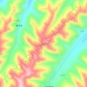
Name: 山庄 topographic map, elevation, terrain.
Location: 山庄, 广河县, 临夏回族自治州, 甘肃省, 中国 (35.37588 103.44836 35.41588 103.48836)
Average elevation: 2,281 m
Minimum elevation: 2,147 m
Maximum elevation: 2,432 m
Other topographic maps
Click on a map to view its topography, its elevation and its terrain.