
霍尔 topographic map
Interactive map
Click on the map to display elevation.
About this map
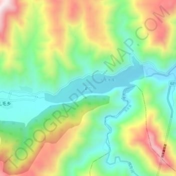
Name: 霍尔 topographic map, elevation, terrain.
Location: 霍尔, 同仁市, 黄南藏族自治州, 青海省, 中国 (35.32767 101.90357 35.36767 101.94357)
Average elevation: 3,048 m
Minimum elevation: 2,777 m
Maximum elevation: 3,473 m
Other topographic maps
Click on a map to view its topography, its elevation and its terrain.