
大汶河 topographic map
Interactive map
Click on the map to display elevation.
About this map
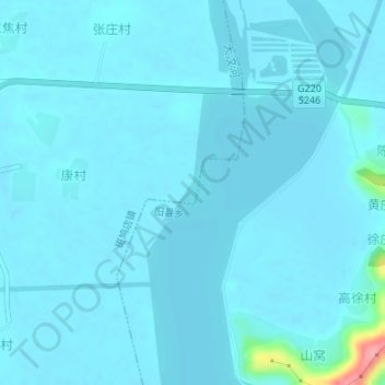
Name: 大汶河 topographic map, elevation, terrain.
Location: 大汶河, 东平县, 泰安市, 山东省, 271500, 中国 (36.10546 116.20088 36.11949 116.20498)
Average elevation: 45 m
Minimum elevation: 37 m
Maximum elevation: 153 m
Other topographic maps
Click on a map to view its topography, its elevation and its terrain.