
戴庙镇 topographic map
Interactive map
Click on the map to display elevation.
About this map
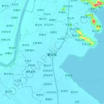
Name: 戴庙镇 topographic map, elevation, terrain.
Location: 戴庙镇, 东平县, 泰安市, 山东省, 271500, 中国 (35.93126 116.04149 36.02873 116.19088)
Average elevation: 44 m
Minimum elevation: 37 m
Maximum elevation: 256 m
Other topographic maps
Click on a map to view its topography, its elevation and its terrain.