
雷公塘 topographic map
Interactive map
Click on the map to display elevation.
About this map
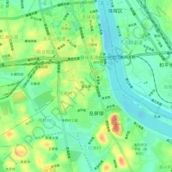
Name: 雷公塘 topographic map, elevation, terrain.
Location: 雷公塘, 雁峰街道, 雁峰区, 衡阳市, 湖南省, 中国 (26.86069 112.58740 26.90069 112.62740)
Average elevation: 72 m
Minimum elevation: 47 m
Maximum elevation: 116 m
Other topographic maps
Click on a map to view its topography, its elevation and its terrain.