
甲米镇 topographic map
Interactive map
Click on the map to display elevation.
About this map
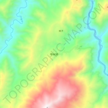
Name: 甲米镇 topographic map, elevation, terrain.
Location: 甲米镇, 盐源县, 凉山彝族自治州, 四川省, 中国 (27.45299 100.96897 27.53299 101.04897)
Average elevation: 2,611 m
Minimum elevation: 2,033 m
Maximum elevation: 3,567 m
Other topographic maps
Click on a map to view its topography, its elevation and its terrain.