
锦屏一级水电站 topographic map
Interactive map
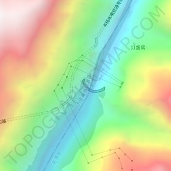
Click on the map to display elevation.
About this map
Name: 锦屏一级水电站 topographic map, elevation, terrain.
Location: 锦屏一级水电站, 灯盏窝, 木里藏族自治县, 盐源县, 凉山彝族自治州, 四川省, 中国 (28.18223 101.62928 28.18428 101.63320)
Average elevation: 2,255 m
Minimum elevation: 1,641 m
Maximum elevation: 3,128 m