
土台 topographic map
Interactive map
Click on the map to display elevation.
About this map
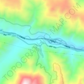
Name: 土台 topographic map, elevation, terrain.
Location: 土台, 红河县, 红河哈尼族彝族自治州, 云南省, 中国 (23.30923 102.47847 23.34923 102.51847)
Average elevation: 636 m
Minimum elevation: 344 m
Maximum elevation: 1,176 m
Other topographic maps
Click on a map to view its topography, its elevation and its terrain.