
红河县 topographic map
Interactive map
Click on the map to display elevation.
About this map
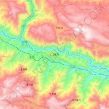
Name: 红河县 topographic map, elevation, terrain.
Location: 红河县, 红河哈尼族彝族自治州, 云南省, 中国 (23.20984 102.26615 23.52984 102.58615)
Average elevation: 1,394 m
Minimum elevation: 276 m
Maximum elevation: 2,525 m
Other topographic maps
Click on a map to view its topography, its elevation and its terrain.