
普雄乡 topographic map
Interactive map
Click on the map to display elevation.
About this map
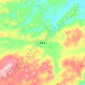
Name: 普雄乡 topographic map, elevation, terrain.
Location: 普雄乡, 建水县, 红河哈尼族彝族自治州, 云南省, 中国 (23.46658 102.99638 23.54658 103.07638)
Average elevation: 2,014 m
Minimum elevation: 1,711 m
Maximum elevation: 2,399 m
Other topographic maps
Click on a map to view its topography, its elevation and its terrain.