
南渡江 topographic map
Interactive map
Click on the map to display elevation.
About this map
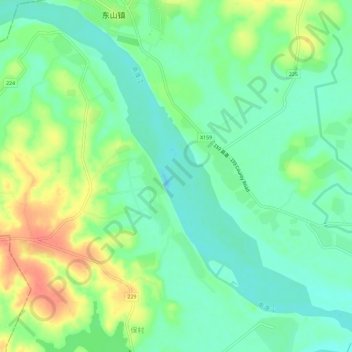
Name: 南渡江 topographic map, elevation, terrain.
Location: 南渡江, 秀英区, 海口市, 海南省, 571154, 中国 (19.70058 110.21985 19.75265 110.27751)
Average elevation: 26 m
Minimum elevation: 7 m
Maximum elevation: 59 m
Other topographic maps
Click on a map to view its topography, its elevation and its terrain.