
罗山县 topographic map
Interactive map
Click on the map to display elevation.
About this map
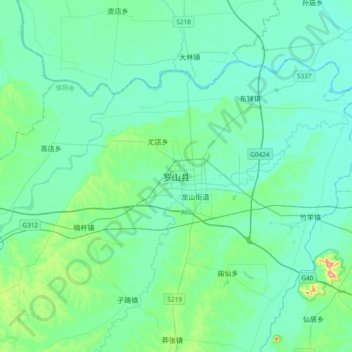
Name: 罗山县 topographic map, elevation, terrain.
Location: 罗山县, 信阳市, 河南省, 中国 (32.04610 114.34758 32.36610 114.66758)
Average elevation: 63 m
Minimum elevation: 34 m
Maximum elevation: 239 m
Other topographic maps
Click on a map to view its topography, its elevation and its terrain.