
Thank you for supporting this site ❤️
Make a donation
Make a donation
Mehaigne topographic map
Click on the map to display elevation.
Thank you for supporting this site ❤️
Make a donation
Make a donation
About this map
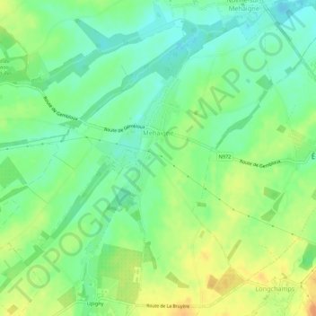
Name: Mehaigne topographic map, elevation, terrain.
Location: Mehaigne, Eghezée, Namur, Wallonie, Belgique (50.57534 4.84693 50.60759 4.90098)
Average elevation: 150 m
Minimum elevation: 135 m
Maximum elevation: 169 m
Thank you for supporting this site ❤️
Make a donation
Make a donation
Other topographic maps
Click on a map to view its topography, its elevation and its terrain.