
高第 topographic map
Interactive map
Click on the map to display elevation.
About this map
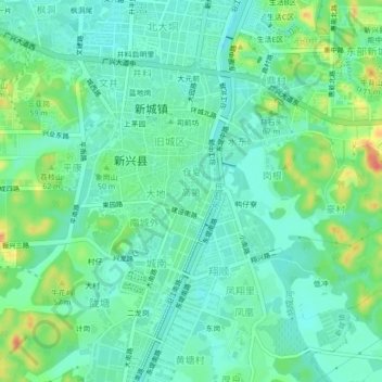
Name: 高第 topographic map, elevation, terrain.
Location: 高第, 新城镇, 新兴县, 云浮市, 广东省, 中国 (22.67510 112.20644 22.71510 112.24644)
Average elevation: 36 m
Minimum elevation: 19 m
Maximum elevation: 76 m
Other topographic maps
Click on a map to view its topography, its elevation and its terrain.