
街心公园 topographic map
Interactive map
Click on the map to display elevation.
About this map
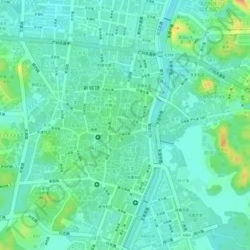
Name: 街心公园 topographic map, elevation, terrain.
Location: 街心公园, 侍郎, 旧城区, 司背, 新城镇, 新兴县, 云浮市, 广东省, 中国 (22.69961 112.22556 22.69996 112.22619)
Average elevation: 33 m
Minimum elevation: 19 m
Maximum elevation: 65 m
Other topographic maps
Click on a map to view its topography, its elevation and its terrain.