
El Mourouj topographic map
Interactive map
Click on the map to display elevation.
About this map
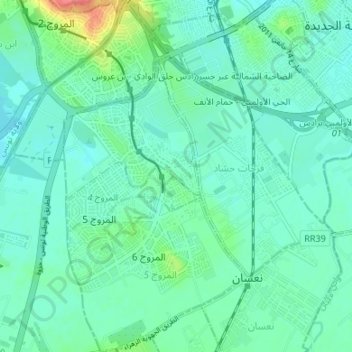
Name: El Mourouj topographic map, elevation, terrain.
Location: El Mourouj, Ben Arous, 2074, Tunisie (36.69300 10.18774 36.74662 10.24911)
Average elevation: 17 m
Minimum elevation: 3 m
Maximum elevation: 73 m
Other topographic maps
Click on a map to view its topography, its elevation and its terrain.