
锡林郭勒 topographic map
Interactive map
Click on the map to display elevation.
About this map
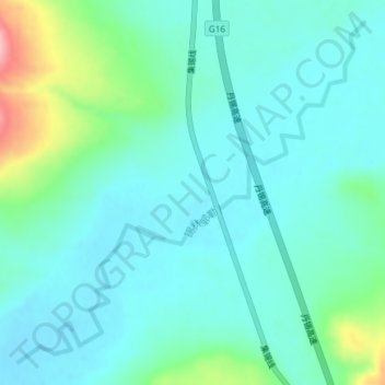
Name: 锡林郭勒 topographic map, elevation, terrain.
Location: 锡林郭勒, 巴彦锡勒, 锡林浩特市, 锡林郭勒盟, 内蒙古自治区, 中国 (43.59958 116.63830 43.62345 116.67186)
Average elevation: 1,190 m
Minimum elevation: 1,160 m
Maximum elevation: 1,306 m
Other topographic maps
Click on a map to view its topography, its elevation and its terrain.