
Thank you for supporting this site ❤️
Make a donation
Make a donation
Frydek topographic map
Click on the map to display elevation.
Thank you for supporting this site ❤️
Make a donation
Make a donation
About this map
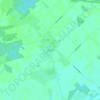
Name: Frydek topographic map, elevation, terrain.
Location: Frydek, Austin County, Texas, United States (29.73329 -96.10829 29.77329 -96.06829)
Average elevation: 46 m
Minimum elevation: 42 m
Maximum elevation: 50 m
Thank you for supporting this site ❤️
Make a donation
Make a donation
Other topographic maps
Click on a map to view its topography, its elevation and its terrain.