
沙珠玉乡 topographic map
Interactive map
Click on the map to display elevation.
About this map
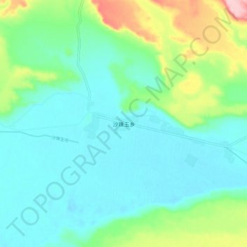
Name: 沙珠玉乡 topographic map, elevation, terrain.
Location: 沙珠玉乡, 共和县, 海南藏族自治州, 青海省, 中国 (36.22244 100.23408 36.30244 100.31408)
Average elevation: 2,911 m
Minimum elevation: 2,867 m
Maximum elevation: 3,055 m
Other topographic maps
Click on a map to view its topography, its elevation and its terrain.