
宁木特乡 topographic map
Interactive map
Click on the map to display elevation.
About this map
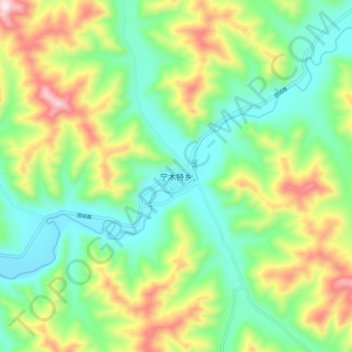
Name: 宁木特乡 topographic map, elevation, terrain.
Location: 宁木特乡, 河南蒙古族自治县, 黄南藏族自治州, 青海省, 811500, 中国 (34.55286 101.29708 34.63286 101.37708)
Average elevation: 3,625 m
Minimum elevation: 3,435 m
Maximum elevation: 3,984 m
Other topographic maps
Click on a map to view its topography, its elevation and its terrain.