
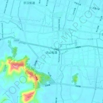
浒山街道 topographic map
Interactive map
Click on the map to display elevation.
About this map
Name: 浒山街道 topographic map, elevation, terrain.
Location: 浒山街道, 慈溪市, 宁波市, 浙江省, 中国 (30.15594 121.21479 30.18116 121.26053)
Average elevation: 15 m
Minimum elevation: 0 m
Maximum elevation: 142 m
Other topographic maps
Click on a map to view its topography, its elevation and its terrain.