
华池县 topographic map
Interactive map
Click on the map to display elevation.
About this map
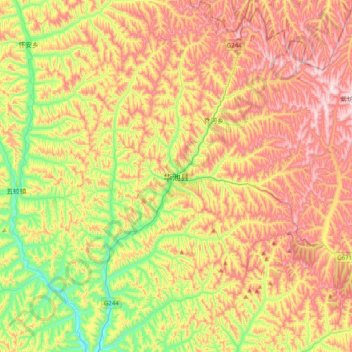
Name: 华池县 topographic map, elevation, terrain.
Location: 华池县, 庆阳市, 甘肃省, 中国 (36.30240 107.82685 36.62240 108.14685)
Average elevation: 1,435 m
Minimum elevation: 1,154 m
Maximum elevation: 1,737 m
Other topographic maps
Click on a map to view its topography, its elevation and its terrain.