
温台 topographic map
Interactive map
Click on the map to display elevation.
About this map
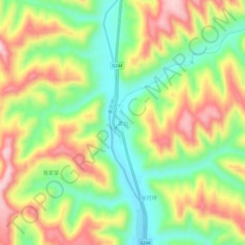
Name: 温台 topographic map, elevation, terrain.
Location: 温台, 华池县, 庆阳市, 甘肃省, 中国 (36.34386 107.88866 36.38386 107.92866)
Average elevation: 1,301 m
Minimum elevation: 1,173 m
Maximum elevation: 1,453 m
Other topographic maps
Click on a map to view its topography, its elevation and its terrain.