
Coderre topographic map
Interactive map
Click on the map to display elevation.
About this map
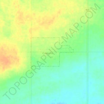
Name: Coderre topographic map, elevation, terrain.
Location: Coderre, Saskatchewan, Canada (50.13142 -106.39183 50.13885 -106.37456)
Average elevation: 691 m
Minimum elevation: 674 m
Maximum elevation: 709 m