
Nambung topographic map
Interactive map
Click on the map to display elevation.
About this map
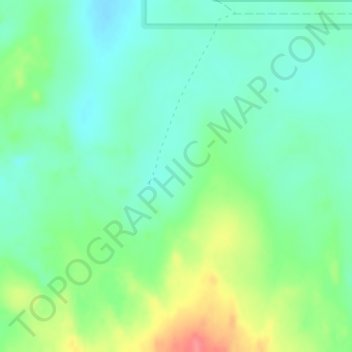
Name: Nambung topographic map, elevation, terrain.
Location: Nambung, Western Australia, Australia (-30.59194 115.16080 -30.57194 115.18080)
Average elevation: 50 m
Minimum elevation: 27 m
Maximum elevation: 99 m
Other topographic maps
Click on a map to view its topography, its elevation and its terrain.