
Árchez topographic map
Interactive map
Click on the map to display elevation.
About this map
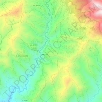
Name: Árchez topographic map, elevation, terrain.
Location: Árchez, La Axarquía, Málaga, Andalusien, Spanien (36.80207 -4.01428 36.84484 -3.98627)
Average elevation: 541 m
Minimum elevation: 227 m
Maximum elevation: 1,036 m
Other topographic maps
Click on a map to view its topography, its elevation and its terrain.
Nerja
Spanien > Andalusien > La Axarquía
Nerja, La Axarquía, Málaga, Andalusien, Spanien
Average elevation: 485 m