
东柳街道 topographic map
Interactive map
Click on the map to display elevation.
About this map
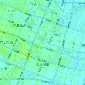
Name: 东柳街道 topographic map, elevation, terrain.
Location: 东柳街道, 鄞州区, 宁波市, 浙江省, 中国 (29.85297 121.57209 29.88130 121.59509)
Average elevation: 7 m
Minimum elevation: 2 m
Maximum elevation: 13 m
Other topographic maps
Click on a map to view its topography, its elevation and its terrain.