
姜山镇 topographic map
Interactive map
Click on the map to display elevation.
About this map
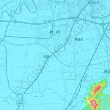
Name: 姜山镇 topographic map, elevation, terrain.
Location: 姜山镇, 鄞州区, 宁波市, 浙江省, 中国 (29.69462 121.45303 29.80303 121.58514)
Average elevation: 9 m
Minimum elevation: -1 m
Maximum elevation: 306 m
Other topographic maps
Click on a map to view its topography, its elevation and its terrain.