
La Falize topographic map
Interactive map
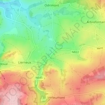
Click on the map to display elevation.
About this map
Name: La Falize topographic map, elevation, terrain.
Location: La Falize, Lierneux, Verviers, Liège, Wallonie, 4990, Belgique (50.26955 5.78888 50.30955 5.82888)
Average elevation: 422 m
Minimum elevation: 330 m
Maximum elevation: 533 m
Other topographic maps
Click on a map to view its topography, its elevation and its terrain.