
林场 topographic map
Interactive map
Click on the map to display elevation.
About this map
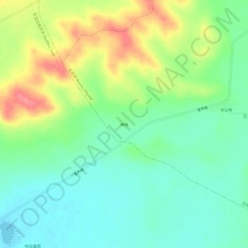
Name: 林场 topographic map, elevation, terrain.
Location: 林场, 宝昌镇, 太仆寺旗, 锡林郭勒盟, 内蒙古自治区, 中国 (41.83731 115.04527 41.87731 115.08527)
Average elevation: 1,404 m
Minimum elevation: 1,376 m
Maximum elevation: 1,454 m
Other topographic maps
Click on a map to view its topography, its elevation and its terrain.