
先进村 topographic map
Interactive map
Click on the map to display elevation.
About this map
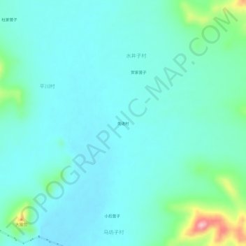
Name: 先进村 topographic map, elevation, terrain.
Location: 先进村, 千斤沟镇, 太仆寺旗, 锡林郭勒盟, 内蒙古自治区, 中国 (41.82832 115.41277 41.86832 115.45277)
Average elevation: 1,454 m
Minimum elevation: 1,426 m
Maximum elevation: 1,589 m