
Indre Fosen topographic map
Interactive map
Click on the map to display elevation.
About this map
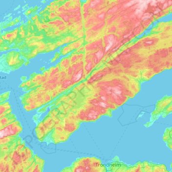
Name: Indre Fosen topographic map, elevation, terrain.
Location: Indre Fosen, Trøndelag, Norvège (63.45457 9.74287 63.86568 10.87548)
Average elevation: 160 m
Minimum elevation: -9 m
Maximum elevation: 642 m
Other topographic maps
Click on a map to view its topography, its elevation and its terrain.