
Åfjord topographic map
Interactive map
Click on the map to display elevation.
About this map
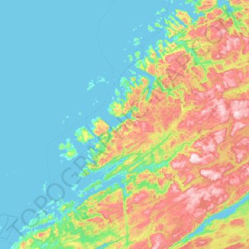
Name: Åfjord topographic map, elevation, terrain.
Location: Åfjord, Trøndelag, Norvège (63.77124 9.61419 64.39592 10.88039)
Average elevation: 153 m
Minimum elevation: 0 m
Maximum elevation: 664 m
Other topographic maps
Click on a map to view its topography, its elevation and its terrain.