
Make a donation
Stedman topographic map
Click on the map to display elevation.
Make a donation
About this map
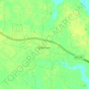
Name: Stedman topographic map, elevation, terrain.
Location: Stedman, Cumberland County, North Carolina, United States (34.99045 -78.72745 35.04010 -78.67952)
Average elevation: 39 m
Minimum elevation: 29 m
Maximum elevation: 46 m
Make a donation
Other topographic maps
Click on a map to view its topography, its elevation and its terrain.
Loch Lommond
United States > North Carolina > Cumberland County > Fayetteville
Average elevation: 70 m
Make a donation
Vanstory Hills
United States > North Carolina > Cumberland County > Fayetteville
Average elevation: 63 m
Make a donation
Eaglewood Forest
United States > North Carolina > Cumberland County > Hope Mills
Average elevation: 45 m
Make a donation
Blounts Creek
United States > North Carolina > Cumberland County > Fayetteville
Average elevation: 29 m
Williams Village
United States > North Carolina > Cumberland County > Fayetteville
Average elevation: 30 m