
Thank you for supporting this site ❤️
Make a donation
Make a donation
Sage topographic map
Click on the map to display elevation.
Thank you for supporting this site ❤️
Make a donation
Make a donation
About this map
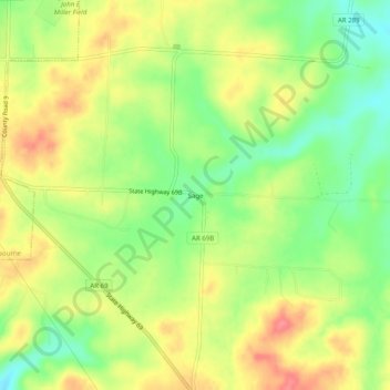
Name: Sage topographic map, elevation, terrain.
Location: Sage, Izard County, Arkansas, 72573, United States (36.02590 -91.83626 36.06590 -91.79626)
Average elevation: 224 m
Minimum elevation: 187 m
Maximum elevation: 260 m
Thank you for supporting this site ❤️
Make a donation
Make a donation
Other topographic maps
Click on a map to view its topography, its elevation and its terrain.