
Sweet topographic map
Interactive map
Click on the map to display elevation.
About this map
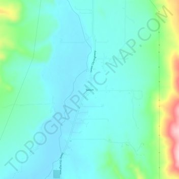
Name: Sweet topographic map, elevation, terrain.
Location: Sweet, Gem County, Idaho, 83670, United States (43.95295 -116.34458 43.99295 -116.30458)
Average elevation: 811 m
Minimum elevation: 764 m
Maximum elevation: 997 m
Other topographic maps
Click on a map to view its topography, its elevation and its terrain.
Emmett
United States > Idaho > Gem County
Emmett, Gem County, Idaho, United States
Average elevation: 738 m