
石河营西社区 topographic map
Interactive map
Click on the map to display elevation.
About this map
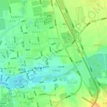
Name: 石河营西社区 topographic map, elevation, terrain.
Location: 石河营西社区, 延庆区, 北京市, 102100, 中国 (40.44273 115.96608 40.48273 116.00608)
Average elevation: 491 m
Minimum elevation: 477 m
Maximum elevation: 511 m
Other topographic maps
Click on a map to view its topography, its elevation and its terrain.