
下营村 topographic map
Interactive map
Click on the map to display elevation.
About this map
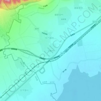
Name: 下营村 topographic map, elevation, terrain.
Location: 下营村, 延庆区, 北京市, 中国 (40.42434 115.76838 40.46434 115.80838)
Average elevation: 504 m
Minimum elevation: 470 m
Maximum elevation: 707 m
Other topographic maps
Click on a map to view its topography, its elevation and its terrain.