
官桥镇 topographic map
Interactive map
Click on the map to display elevation.
About this map
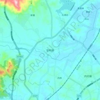
Name: 官桥镇 topographic map, elevation, terrain.
Location: 官桥镇, 南安市, 泉州市, 福建省, 中国 (24.76611 118.38694 24.84611 118.46694)
Average elevation: 43 m
Minimum elevation: 8 m
Maximum elevation: 327 m
Other topographic maps
Click on a map to view its topography, its elevation and its terrain.