
新建区 topographic map
Interactive map
Click on the map to display elevation.
About this map
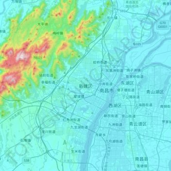
Name: 新建区 topographic map, elevation, terrain.
Location: 新建区, 长堎街道, 新建区, 南昌市, 江西省, 330013, 中国 (28.53584 115.64909 28.85584 115.96909)
Average elevation: 89 m
Minimum elevation: 9 m
Maximum elevation: 823 m
Other topographic maps
Click on a map to view its topography, its elevation and its terrain.